Use Cases: Agriculture
Discover how VegDS helps farmers protect and optimize their crops through artificial intelligence, remote sensing, and access to unified data.
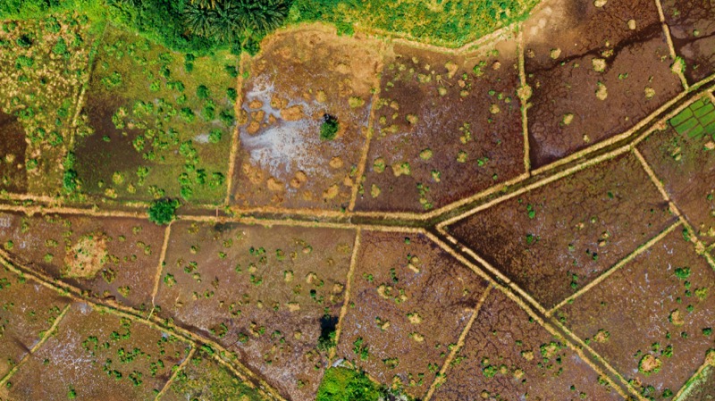
Plot diagnosis
Check the health status of your agricultural plot with integrated satellite, meteorological, and historical data. Receive a summary or detailed report on pest risk and vegetative stress.
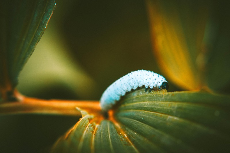
Early pest alert
Receive automated alerts when patterns compatible with pest outbreaks are detected in your area. These alerts are based on AI models trained with real data from RAIF, SIGPAC, and Sentinel-2.
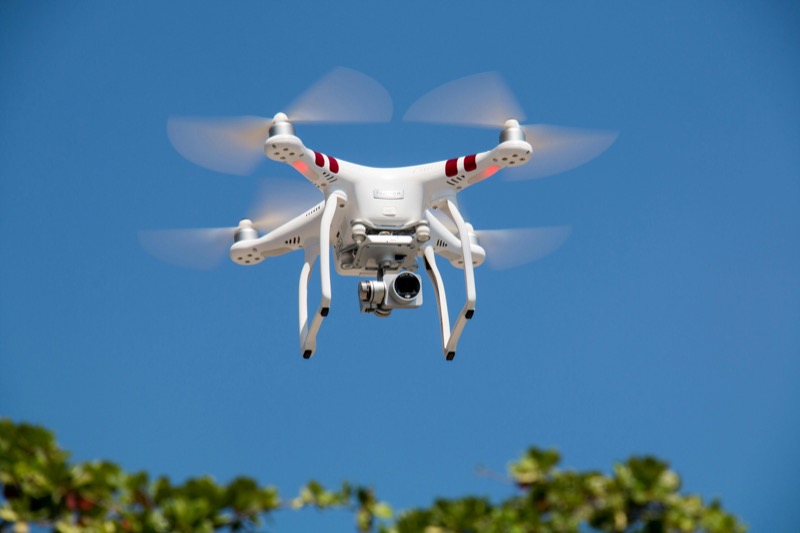
Drone mission request
If a possible pest outbreak is detected, you can activate a drone mission to confirm the diagnosis and assess the situation with high-resolution proximity images.
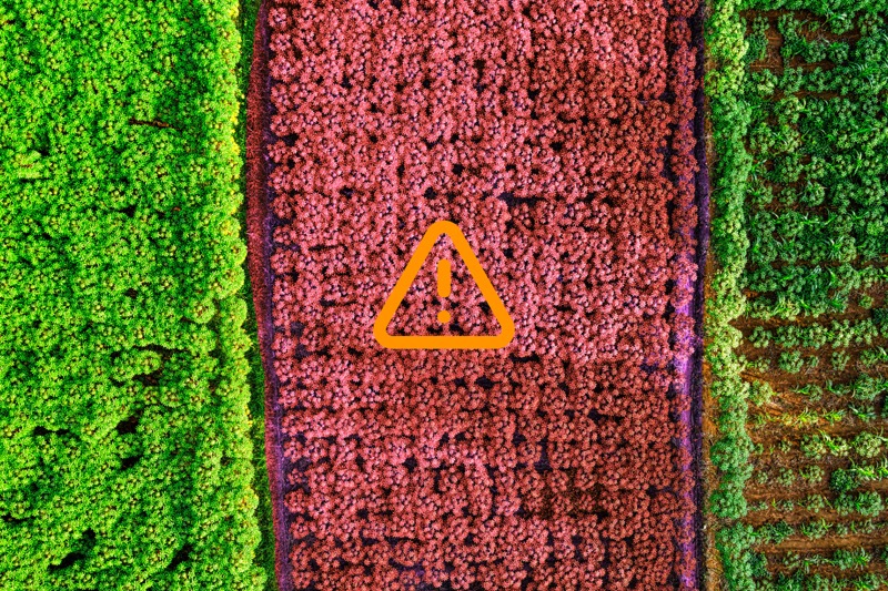
Nearby risk notifications
Visualize pests detected in neighboring plots and know the probability of them spreading to yours. Act preventively before damage occurs.

Campaign comparison
Compare the status of your plot between previous agricultural campaigns. Analyze crop evolution with visual indicators generated from historical and satellite data.
Report download
Access downloadable reports on the phytosanitary status of your plot, useful for justifying treatments, requesting aid, or communicating with technical advisors.